A Filled-In Trench in Charleston?
The Historic Charleston Foundation has been researching the rear yard behind its Aiken Rhett House property [from 1820] to learn more about how wealthy residents and their slaves shared the large area, which might have contained an ornamental garden as well as work space.That was significant because military historians knew that the British army built trenches on the peninsula during their campaign to take the port city in the spring of 1780.
Recent ground-penetrating radar showed evidence of a pit and possibly pathways of brick, shell or compacted earth.
But it also found evidence “consistent with a filled ditch.”
A later Post and Courier story continued:
In the late 18th century, the city was mostly concentrated below present-day Calhoun Street. British troops dug trenches in the uninhabited areas farther north, allowing them to stealthily move troops across the city from the east to capture the patriots’ fortification in the area now known as Marion Square.
After the British forces seized control of the city, they filled in the trenches to keep them from being used in a counter-attack.
In the decades after the war, new streets and suburban homes, such as the Aiken-Rhett House, were built on top of the filled-in trenches, making it especially difficult for today’s historians to pinpoint where they were.
Martha Zierden, curator of historical archaeology at the Charleston Museum, said if they can verify the location of one trench, they can use old maps to estimate where all the others are buried.
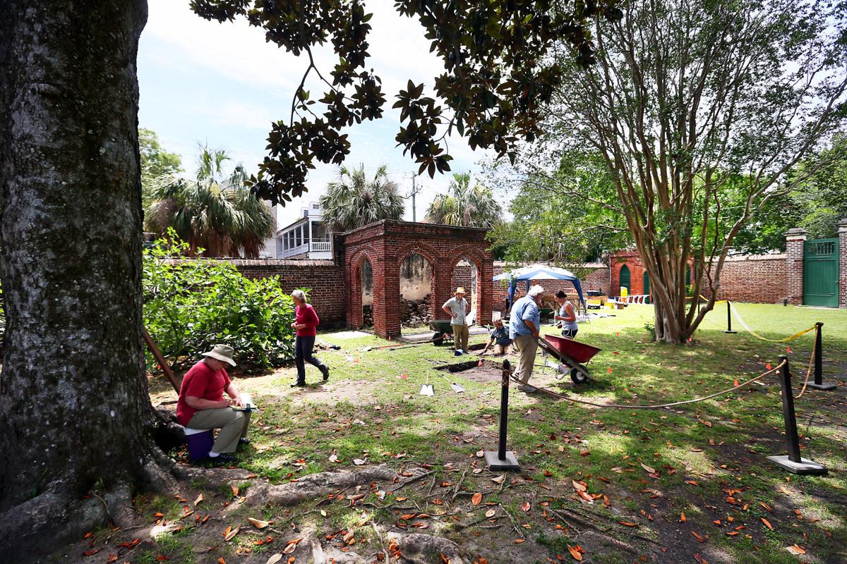
On Friday, the team of archaeologists and students on Elizabeth Street got one step closer to that goal. After they finally finished removing a layer of old bricks and slate in the excavation pit, they reached the soil dating back to the 1780s that indicated the dirt had been disturbed, most likely for a trench.
“There would have been no other reason for anybody to be digging in that area because it was uninhabited in the late 18th century,” said Carl Borick, director of the Charleston Museum.
He said the area also lines up with a map of the trenches drawn by [Charles Blaskowitz,] the British Army’s chief mapmaker for the Siege of Charleston.
No comments:
Post a Comment